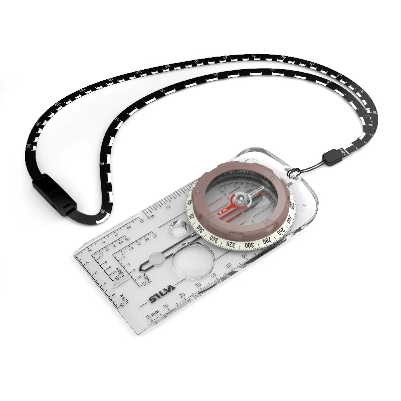
- SCALE LANYARD
2 scales, soft and bendable, easy to place directly on to your route on the map.
- SLOPE CARD
Calculate avalanche risk, determine how challenging your journey will be
- WATERPROOF
Withstands tough weather conditions
- GLOBAL NEEDLE
Can be used in all three magnetic zones
The expert SILVA compass, now with a global needle! The Expedition Global is for experienced users and professionals. It is high performing when it comes to accuracy, precision and durability. The global needle also makes the compass flexible and possible to use all around the world.
If you are in need of a compass with high-end features to use anywhere in the world, the Expedition Global should be your choice.
The compass comes with a slope card and a distance lanyard. The slope card is great both for detecting avalanche risk and for determining how challenging your journey will be. By knowing the slope you can also judge any extra distance that you need to go due to the slope. The distance lanyard has two scales on it; 1:25, and 1:50, which facilitates to measure the distance of your hike. Since its soft and bendable it’s easy to place it directly on to your route on the map.
Expedition Global features DryFlex™ grip for easy handling, a clinometer for measuring slope angle and comes with a built-in adjuster for magnetic declination. It also features map-measuring in mm, inches, scales of 1:25k, 1:40k 1:50k and GPS scales. The baseplate has a curved-up at the back-end for perfect fit in the hand, magnifying lens and rubber friction feet for precision map work. The distinct arrow and scales/markings in a clear contemporary font combined with lots of transparency in the baseplate makes navigating easier – when activated in light the luminous markings and graduation ring enable night time navigation. The red/black northsouth lines in the capsule bottom ensures easy and safe settling. The needle is made from finest Swedish steel with high quality magnetic features.
Specifications:
Accuracy ~ 2º
Attachment ~ Detachable safety-release scale lanyard, slope card
Clinometer ~ Yes
Declination adjustment ~ Yes
Illumination ~ 4 hours after activation in light, Luminous markings
Magnifying lens ~ Yes
Sapphire jewel bearing for friction-free movement of the compass needle ~ Yes
Scales ~ Base plate: 1:25k, 1:40k, 1:50k, mm, inch (1/20th), GPS scales
Silicon friction feet ~ Yes
Slope card ~ Yes
Temperature operating range ~ -30 to + 60 C
UTM position plotting scales (Romer scales) ~ 1:25k, 1:40k, 1:50k
Variant ~ Global (All zones: MN, ME, MS)
Weight ~ 52g

